Monday, October 19, 2009

GC Day 5: South Kaibab Trailhead to Bright Angel Campground

October 19th - Backpacking Day 1
Late start to the day with a 4:55am wakeup alarm in order to catch the 6am shuttle to the South Kaibab trailhead.


We were on the trail by 6:35 at first light and very WINDY conditions. We guessed that there were 30-40 mph gusts which is fun when on a trail with some significant drops off at least one side of the walk.


Started the day with long sleeves and pant legs, but about 3 miles in by Skeleton Point the sleeves and legs had to go.


The couple of overlooks that gave us first views of the river made us realize that we were still a long ways up, but at least we could see our destination amongst the trees below.


Crossed the Black Bridge and arrived into the campground 5 hours after we started. After a small lunch, we wandered north to the end of the Phantom Ranch area and then back down to the river and the Silver Bridge. A brisk 94F at the bottom of the canyon that day.


At 4pm I went down to hear a ranger talk about a number of "Firsts" that have occurred in the canyon's exploration history. While cooking dinner, the ranger checking permits informed us that the Cottonwood Campground water had been turned off that same day, meaning we would need to collect and filter our own water for our 2 nights there - no big deal, just inconvenient. At 7:30 we heard another ranger talk, this one on the American Condors, followed by an orientation on scorpions and how to find them using black light.

Sunday, October 18, 2009

GC Day 4: Flagstaff to South Rim

October 18th

Ran from the KOA just after 7am; I just find their sites way too close together, and take too much out of camping, including the "C".  We drove into Crater Lake Nat'l Monument but made another decision to skip it in lieu of spending more time near the Grand Canyon.  Continued on to AZ-64 and made our first real stop of the day at the Little Colorado River Overlook.


There we did the camera weilding tourist thing, but then I also got a couple of items for the kids from some of the growing number of local merchants.


After entering the National Park gates, we stopped at various overlooks including the watch tower.


By lunch we were at the Granview Overlook where we chowed and wandered down the trail a few hundred yards or so.


We continued onward to the Grand Canyon Village where we acquired a campsite in the Juniper Loop at the Mather Campground. We quickly got down to the backcountry office to check on last minute details of our itinerary. They had no weather information on the north rim, but all indications was that we would have little issue with weather and hiking conditions to get from Cottonwood Campground up to the north rim a couple of days later. While Clayton went off to take some sunset pics, I battled with organizing my pack for the 4-nighter starting the next day.

Also acquired a copy of the guide book "Hiking Yellowstone National Park" which will hopefully come in useful in the future.

Saturday, October 17, 2009

GC Day 3: Monument Valley to Flagstaff

October 17th

Broke camp just after 8am and went down to Kayenta for another refueling. Comparing the maps that Clayton and I had, found that mine had more detail (i.e. showed more roads), but we later realized that his was more up to date. My AAA map showed Highway 591 going south from Kayenta/US-160 and going over to Many Farms on US-191, whereas his showed a Highway 59 that departed US-160 just east of Kayenta; mine did not show this road. We chose the 591 route.

The burros on the side of the road might have been a better choice for this portion of road. After a very short while we wondered how many bolts from our vehicles were going to be left behind because of how rough this road was. A little over 20 miles later just past Chilchinbito it turned north and ended at...Highway 59. Apparently a newer highway that my map didn't even register and I'm guessing it would have saved us probably 30 minutes of time.


From there we drove down to Chelly Nat'l Monument and hiked down to the White House (30 minutes each way). In some of these photos from on top of the canyon you can see some of the dwellings that were built up in shadows and high ledges.


After a lunch in the picnic area nearby the visitor center where many locals were having birthday parties, we headed south to I-40 and then west to the Petrified Forest Nat'l Park.


Leaving there, we drove through sunset and into darkness and all the way to Flagstaff where we eventually gave into staying at the KOA along US-89 in town. But, took advantage of being across the highway from the major shopping area of Flagstaff to purchase a new lighweight tripod and an 8GB card for the camera. No more excuses!

Friday, October 16, 2009

GC Day 2: Moab to Monument Valley

October 16th


After breaking camp, I headed down the road to Dead Horse State Park and waited for Clayton's arrival. Found a couple of good vantage points, and even saw one of the local boat tours going down river on an early morning trip.


We headed south on US-191 re-fueled in Monticello, and veered west at Blanding on UT-95 towards the Natural Bridges Nat'l Monument. At the intersection with UT-261, we had to decide if we wanted to dedicate the time to the monument, or head south to the gooseneck overlook area of the San Juan River. After consulting Clayton's photography guide book we decided to leave the monument for another day when a day could be spent, and go south. As is the case with a trip like this, sacrificing one location to allow for more time at another was a common decision.


Just before UT-261 takes a small "dip", Mule Point Road goes west for a few miles. By no means does the road provide a smooth ride, but it's worth a bit of jostling to view the goosenecks of the San Juan River.


Getting back to that "dip" in the road I mentioned where Mule Point Road turns off of UT-261, the road we took is an impressive switchback road that decends down the Moki Dugway and trails off to the Mexican Hat area at US-163.


We got down to just north of the Arizona state line and got a sandy campsite at Gouldings, west of the highway. Went back across the highway and entered the Monument Valley Navajo Tribal Park for a 17 mile drive at sunset. We left the park just after darkness settled and had another headlamp dinner.


While exploring the radio dial trying to find something to listen to, came across a frequency with The Fan 960 broadcasting the Flames-Canucks game that night, much to Clayton's enjoyment!

Thursday, October 15, 2009

GC Day 1: Denver - Moab

October 15th
Day of the trip finally arrived. Clayton and I had been planning this for probably a year. Our attempts to do an early spring trip fell through, so the fall plans were made and finally we set off. Clayton was departing Calgary the same morning with the goal that we'd be able to meet up somewhere in the Utah canyons area the next day.

My day started with a very positive parent-teacher meeting with Sarah's kindergarten teacher. After that, topped off the petrol, picked up a copule of cold items for the cooler and hit the road by 9:30am.


Great weather in Denver when I left, but it didn't take long to be in winter driving conditions. I-70 from Georgetown, past Loveland Pass / Eisenhower Tunnel and all the way into Vail was blowing snow, some icy sections, and less than ideal visibility.


From Vail thru the I-70 "banana belt" and all the way to Grand Junction there was still some very vibrant fall colors along the highway. Despite a few stops for pics, got to Grand Junction at 12:30 and stopped for enough time to refuel and a bite for the road.


Continued on I-70 into Utah, and then turned off and took UT-128 from Cisco. This ended up being one of my two favorite roads on the entire trip, as this road fell down into the canyon created by the Colorado River and followed it all the way to the Moab / Arches Nat'l Park area.


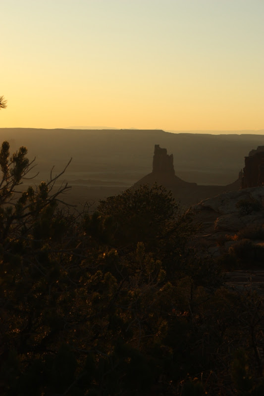
At the end of UT-128, I hopped north to UT-313 which goes to Canyonlands Nat'l Park. Made a quick stop at Horsethief Campground to establish a home for the night before running down to the Canyonlands park for some late afternoon exploring and photos. Hiked out to Mesa Arch and then drove down to Grandview Point for sunset.


The next 2 photos you can make out the 4WD road along the white rim of the canyon. Would be an interesting drive - make sure you start with a full tank of fuel!


Realized that I had a mismatch between the tripod I brought and the shoe, so wasn't able to take any long exposure shots, but managed to get a good one handheld.

As for the tripod issue, that would be dealt with later in the trip.

Returned to the campsite at dark and enjoyed an Asian flavored noodle dinner. Was in the tent by 8 and fell asleep listening to my camping neighbors playing around with an Australian didgeridoo.